Draw
The drawing tools can be used to annotate the map, draw different geometries to emphasise certain areas, or they can be downloaded as an area of interest.
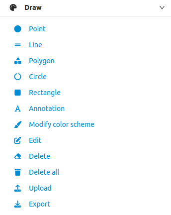
It is possible to choose between the geometries 'Point', 'Line', 'Polygon', 'Circle' or 'Rectangle'. Annotation' can be used for text elements.
The 'Edit colour scheme' button can be used to change the colour of the various geometry types.
Each drawn object can be edited using the 'Edit' option. To do this, activate this option and click on the desired drawn object. It is then activated for editing.
It is also possible to upload geoJSON files with the 'Upload' option, which are visualised in the map after uploading.
All objects drawn on the map can be downloaded in geoJSON format. The 'Export' option can be used for this purpose.
To delete a drawn object from the map, the 'Delete' option can be activated. Click on the desired drawing object to remove it.
To delete all drawn objects from the map, click on the 'Delete all' option
To deselect a drawing option in the drawing tool, you must deactivate the selected option.